
Monroe Neighbors Through Block Records
A sound Monroe neighbors search widens outward in circles. First identify the target parcel. Next inspect parcels that touch it. Then consider the street segment and the city-defined neighborhood. This preserves a clear boundary instead of treating a ZIP code, postal city, or neighborhood name as if it were a legal block. The records below have different roles and access routes. Use them as an evidence grid, not as a list of private households.
| Source | What it shows about a block | Access |
|---|---|---|
| County parcel geometry | Adjacent parcel polygons, parcel IDs, municipal and ZIP relationship | Parcel Viewer identify or REST; not an occupant roster. |
| RPTS property card | Owner, mailing recipient, assessment, sales, and SBL | Current portal or municipal assessment route; mailing is not situs or occupancy. |
| Clerk deeds and maps | Ownership sequence and legal descriptions | Search by SBL, address, or party; older and image routes differ. |
| City code layer | Address, SBL, use code, owner field, and open-case flag | Public REST query; role and date are not resident status. |
| Neighborhood polygon | City-defined neighborhood and association values | Spatial layer, not a legal parcel line. |
| House directory | Historic names at adjacent street numbers | RPL address-first volumes and later house section. |
| Voter lookup | Current polling or registration result for a supplied person and address | No bulk block roster; confidential-voter limits apply. |
| Field assessment cards | Prior owners or residents, drawings, and photographs | Rochester 1927-1980 archive series by appointment. |
Owner, mailing recipient, directory listing, and current voter result are not interchangeable labels. Keep each result beside the source and retrieval date. That is especially important where a Monroe parcel has a mailing address outside the neighborhood or a historical street name.
Monroe Parcels Define Neighbor Relationships
The Monroe County Parcel Viewer is the starting layer for nearby parcels. Its documented services include parcel, boundaries, centerline-label, topography, and county basemap layers. The boundary service supports identify and query, while the parcel layer supplies the map geometry that lets an address be compared with the parcels around it. Save the situs address, municipality, ZIP polygon, and SBL before looking at names. The SBL is a tax-map or parcel identifier that stays more useful than a street label when a name or number changes.
“Adjacent” needs a stated map rule. A parcel might share a boundary, touch at a corner, or stand across the street. The research does not say that the viewer provides a legal abutter list, so inspect the visible geometry and say which relationship is being considered. This protects a Monroe neighbors search from silently widening to every nearby address.
For a larger named-street chain, use the Monroe street directory. It follows the address and deed evidence beyond the immediate block without turning a block map into a whole-street roster.
Monroe Neighborhood Polygons Add Context
Within Rochester, a city neighborhood is a community geography rather than a ZIP or legal parcel. The Rochester neighborhood REST layer exposes `Name`, `NEIGHBORHOOD`, and `ASSOCIATION` fields, along with the feature geometry. It can connect a parcel's map position to the city-defined neighborhood and an association name. The city cautions that mapped names and boundaries may not match every resident's own use of a neighborhood name.
Open the Rochester neighborhood layer to see the fields available for a Monroe neighbors check.
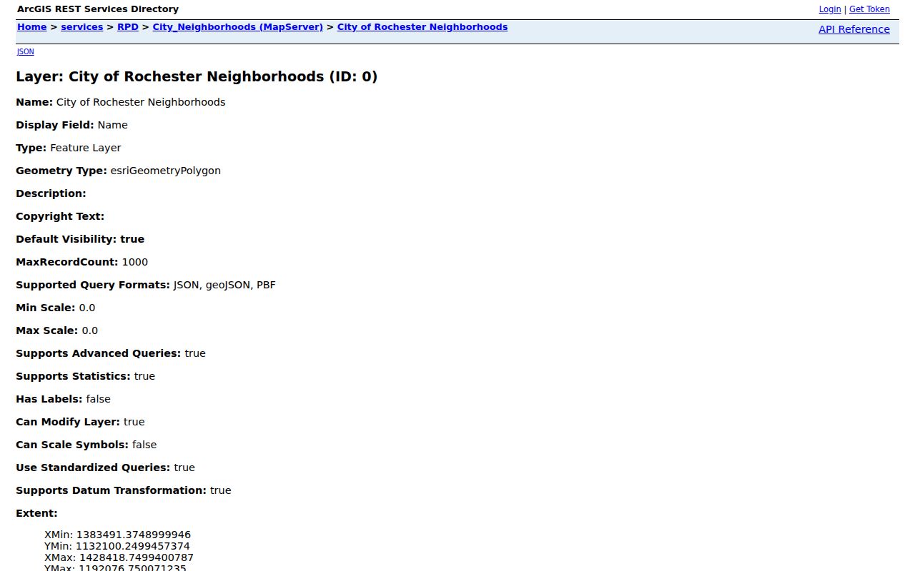
The layer is useful for adding local context after parcel work. It does not decide a parcel line, establish membership, or identify everyone in the neighborhood.
Monroe Neighbors and Community Contacts
Association names can help a Monroe neighbors search become a community-context question rather than a people list. The city service-center pages and the 2026 Neighbors in Action material identify active examples by quadrant, but they are not official occupant rolls. Current contact information should come from the linked city route because association names, officers, and activity can change. The older city appendix is an historical inventory, not proof that every listed group remains active.
Southeast Monroe context
Southeast Neighborhood Service Center identifies examples including North Winton Village, Upper Monroe, Swillburg, ABC Streets, Beechwood, Browncroft, Cobbs Hill, and Park Avenue.
Northwest Monroe context
Northwest Neighborhood Service Center identifies Charlotte, Barker Street/Westside, J.O.S.A.N.A./Charles House, Dutchtown, Edgerton/Dewey/Driving Park, and Lyell-Otis.
Southwest Monroe context
Southwest Neighborhood Service Center identifies 19th Ward, Corn Hill, Plymouth Exchange, Susan B. Anthony, SWAN, and Upper Mount Hope.
Review the city’s current association examples before contacting a group or using a name as neighborhood context.
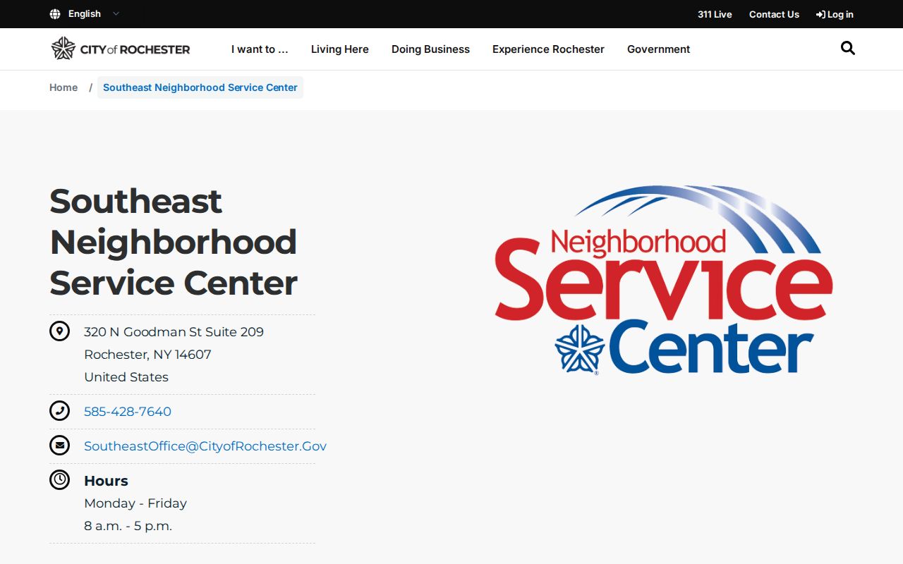
The city resource shows how a block can be connected with local organizations without representing those groups as a directory of residents.
Map a Monroe Block with Parcels and Owners
The practical Monroe block method begins with the map, then adds property and Clerk evidence parcel by parcel. A county assessment listing may show a legal owner or tax-mail recipient. A recorded deed can show the transfer history. Neither alone proves who occupies the address. Preserve the source role in your notes and avoid merging names from neighboring parcel records.
- Locate the supplied address in the County Parcel Viewer, then save the map date, municipality, ZIP polygon, and SBL.
- Identify the parcels that visibly touch it or lie across the street, and record the stated relationship for each.
- Check the Monroe Real Property Portal or municipal assessment route for the owner and mailing fields, retaining the difference from the situs address.
- Use the County Clerk’s IQS entry point for the relevant address, party, document, or date search. Keep liber/page, instrument number, legal-description wording, and image or copy status with the parcel.
- For a Rochester parcel, compare the city code or permit layer only as dated property context. Its `ADDRESS`, `SBL`, `USE_CODE`, `OWNER`, and `OPEN_CASE` fields do not establish resident status.
The Clerk's research path has a local access split. Its house-history guidance uses post-1975 online work, while older deeds can require microfilm and index books; land images became subscription-gated on April 1, 2026 while discovery-level index information remained free. If an image is needed, use the Clerk's copy or public-terminal route rather than assuming the index is the record itself.
Monroe Neighbor Sources Compared
Official records are better for a defined question because they show the custodian, record role, and access limits. Commercial neighbor-search products can copy or combine information from many sources, but they do not replace a parcel map, a recorded deed, or the government office that can correct its own record. A mismatch should be traced back to the source, not resolved by guessing at a household.
| Official Monroe source | Commercial neighbor tools |
|---|---|
| Can show the map, parcel, assessment, deed, city layer, or historical collection used for one question. | May combine records but may not disclose the source date, role, or boundary used. |
| Has a custodian for copies, corrections, and access questions. | Cannot correct the underlying county, city, court, or archive record. |
| Lets a researcher distinguish owner, mailing recipient, and historical directory listing. | Can blur those roles into a single apparent address association. |
For an indexing or recording issue, contact the office that maintains the record. Monroe County Clerk handles recording and index concerns; RPTS or a municipal assessor handles parcel information; the Board of Elections handles registration; a court clerk handles docket corrections. A correction request is stronger when it cites the record identifier, source, and retrieval date.
Monroe Neighbor Voter Checks Have Limits
The Monroe County voter lookup is a current-cycle verification tool for a supplied person and address. Its observed fields are Street #, Street Name with an autocomplete selection, ZIP Code, Last Name, and Date of Birth in `MM/DD/YYYY` format. The results can address registration, polling place, sample ballot, absentee or mail-in status, and elected officials. It is not a public street or block roster, and a no-hit can reflect a typo, move, backend rule, or confidential status.
| Field | How it should be used |
|---|---|
| Street # and Street Name | Use the supplied address and select the normalized street from the tool. |
| ZIP Code | Compare the entered ZIP with USPS and GIS when an address crosses a postal or town label. |
| Last Name | Use only for a supplied person and check variants carefully. |
| Date of Birth | Use only when authorized; do not retain or publish it. |
Election Law §5-508 protects confidential voter records, and address-confidentiality participants use a substitute address. Current election details can change between cycles, so any result should carry its retrieval date and a purpose note. Note: A polling result can verify an election relationship, but it does not prove property ownership or ongoing residence.
Historic Monroe Neighbors by Address
Historic block research has different sources and boundaries. Rochester Public Library holds city directories from 1827 onward, including house directories arranged by street address from 1892 through 1920 and an address section at the back of the main directory from 1922. Search adjacent numbers in the same year, then compare the alphabetical entry. A missing name can reflect an omission, an old street name, a changed boundary, or a page scan that needs manual review.
Rochester Public Library Local History & Genealogy provides the noncirculating directory and map route. For a rare person-property bridge, the Rochester Municipal Archives has field assessment cards from 1927 to 1980 that may include prior owners or residents, drawings, and photographs. The Archives does not offer walk-in browsing; it uses a records-access application or genealogy appointment, and the research lists copies at 25 cents per page.
County GIS Records can add 1876-era sewer plans and 1930s aerials to a block history. Those materials can date streets or built features without identifying a present household. The historical thread should stay separate from a current Monroe neighbors check.
Monroe Neighbor Lookup Privacy Limits
New York public-record access is not permission to build a dossier on people near an address. Public Officers Law §87(2) includes privacy and safety exemptions, courts use Judiciary Law §255 procedures rather than county FOIL, and sealed or confidential records can be missing from online access. The state Address Confidentiality Program, under Executive Law §108 and 19 NYCRR Part 134, provides a legal substitute address and protects the actual location. Never try to reverse a substitute address.
If a public record is wrong, request correction from the custodian rather than contacting a named subject. The relevant routes are the Clerk for recording errors, RPTS or the municipal assessor for parcel fields, BOE for registration, the court clerk for docket issues, and the vital registrar for certificate errors. This keeps a Monroe neighbor lookup tied to the source that can actually address the discrepancy.