
Trace a Monroe Street Directory Address
A useful Monroe street directory search starts with one normalized street address. Keep the postal city, municipality, ZIP, and parcel identifier in separate notes because they can differ. The county property route and map establish the parcel. The Clerk's index identifies recorded land documents. Rochester's historical house directory is then a separate address-first source for earlier names. Each step narrows the record trail without making an unsupported claim about who is present at the address today.
- Find the parcel through Real Property Tax Service and note its situs address, municipality, owner or mailing role, and SBL if shown.
- Use the Monroe County Parcel Viewer to see the parcel geometry, adjoining parcels, boundaries, and map date.
- Search the Clerk's IQS route by address when available, then by the owner or party name, document type, and recording date.
- For historic occupants, inspect the Rochester house-directory address section and then the alphabetical entry.
- Use the voter lookup only for a known person and current address, never as a bulk street roster.
That sequence distinguishes a recorded transfer from an address listing. It also makes a gap visible instead of filling it with a nearby name.
Monroe Street Directory Map Keys
The county GIS hub and parcel viewer are the map layer for a Monroe street directory inquiry. The documented services include parcels, boundaries, labels, topography, and basemap information. The viewer can help locate the municipality and the parcels that meet a street, but it is not a complete person directory. Its ZIP polygon layer is visible and queryable through the GIS service, yet it is marked not searchable in the viewer. Confirm a precise mailing ZIP with USPS ZIP Lookup.
- Parcel
- A tax-and-map unit, not a statement about every person connected with an address.
- Situs address
- The physical parcel address; it can differ from the tax mailing address.
- Plat
- A map that records lots, streets, and subdivisions for land description work.
- Criss-cross directory
- An address-first index that helps move from a street number to historical names.
The map result should be saved with its retrieval date. Boundary layers change as survey information and annexation data are corrected. A ZIP label also does not decide a city, town, village, or neighborhood boundary.
Monroe Street Directory Property Fields
The county's Real Property Portal is the official entry point for property information, taxes, historical sales, and tax payments. The live search controls were not exposed during source inspection, so the page does not promise exact labels or required fields. When the live card provides them, record the owner name, situs address, SBL, municipality, assessment and tax values, historical sale context, and exemption flag as labeled. Do not turn a name in an assessment field into an occupancy conclusion.
Rochester has its own public Property Information and BuildingBlocks map tools. Address-keyed city permit and inspection material can establish a date for building work. The public property-management portal can show an owner or manager designation, open code cases, or open violations. An owner, manager, applicant, inspector, and resident are distinct roles. The address is the shared key, not proof that those roles belong to one person.
Monroe Street Directory Deed Trail
The Monroe County Clerk land-records page is the formal route for deeds, mortgages, assignments, satisfactions, judgments, liens, and maps. Start with an address where the index supports it. If that produces a document, preserve the party role, document type, recording date, liber or book, page, municipality, property address if indexed, SBL if present, legal-description terms, and image-access notice. These are the links that make a later Clerk or microfilm request precise.
The historical guide makes 1975 the practical division. Post-1975 work follows the online address or owner search backward through the oldest deed. Pre-1975 work moves to microfilm in Room 105 at the Downtown Filing Office. A missing liber and page calls for the transfer year plus the grantee surname initial in the index books. Deeds before the 1821 formation of Monroe County can lead to Ontario or Genesee County microfilm.
Open the Monroe IQS search for the current land-index route.
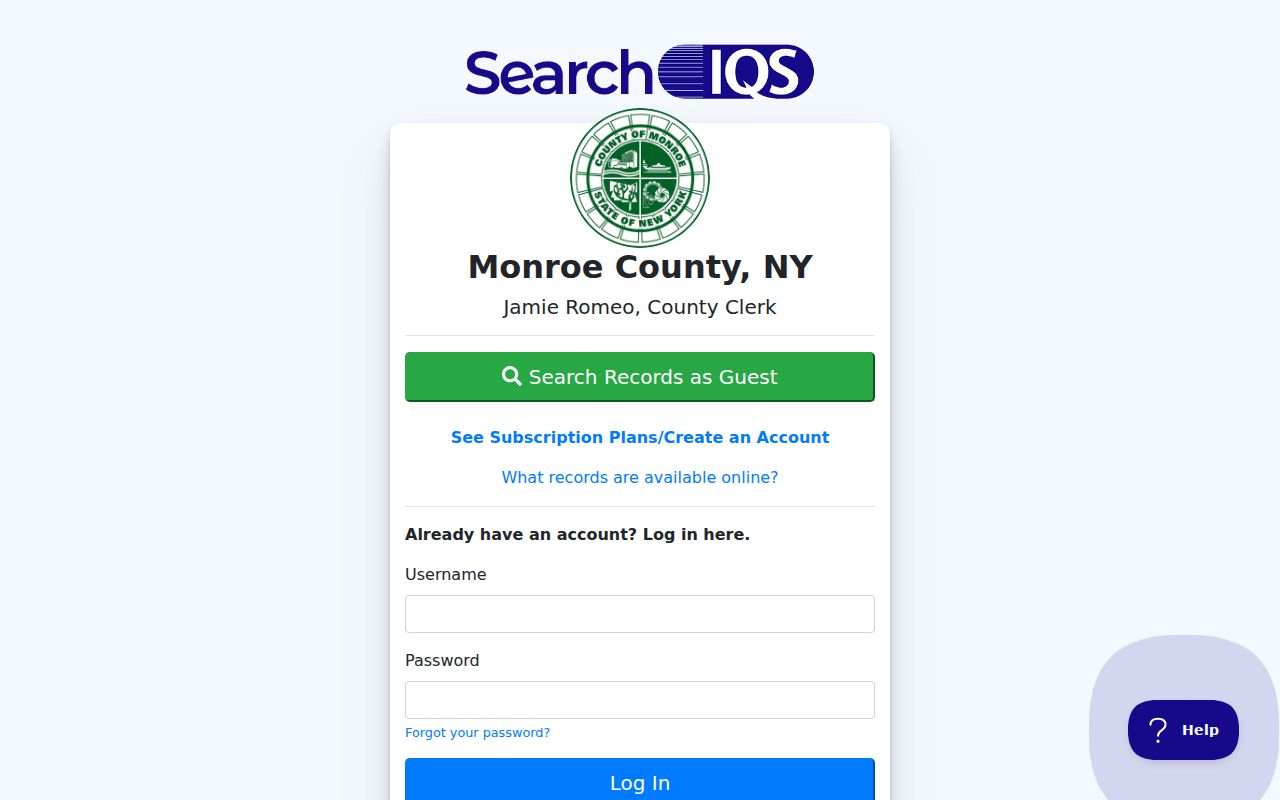
The IQS screen is a discovery layer. The Clerk's 2026 release says standard index information remains free, while digital document images require a subscription.
Note: Exact IQS subscription prices were not published in the release inspected, so confirm access before ordering an image.
Monroe Street Records by Address
Several address-keyed sources can appear in the same Monroe street directory investigation. The table separates what each source can show from what it cannot establish. Use the source with the proper custodian when the online route is incomplete: the Clerk has a public terminal, mail, fax, and copy-request channels; GIS Records offers public viewing with appointment contact; city archival material is appointment based.
| Address record | What it can show | Monroe keeper | Access |
|---|---|---|---|
| Assessment and parcel data | Parcel, tax, owner or mailing context | Real Property Tax Service | Property route and portal |
| Parcel map | Geometry, boundaries, ZIP polygon context | County GIS | Viewer and service layers |
| Recorded land documents | Parties, dates, legal descriptions, transfers | County Clerk | IQS, terminal, copy request, microfilm |
| Permit and code layers | Address, SBL, owner role, open-case flag | City of Rochester | Property and permit route |
| House directories | Historic address listings | Rochester Public Library | Digital scans and library holdings |
The voter tool has a street number, autocomplete street name, ZIP, surname, and date-of-birth query. It returns a current election relationship for a known person, not a list of everyone on the street.
Rochester Street Names in Monroe Records
When an old address fails to match a current Monroe street directory search, check the historical street name before assuming the record is wrong. Rochester Municipal Archives holds the Register of City Streets from 1834 through 1921, including openings, dedications, and name changes. The city archive also has common-council material and field assessment cards from 1927 through 1980. No official comprehensive citywide renumbering year was found in the research.
Rochester Public Library's house-research material gives examples of historical name and number changes, including Hand Street becoming St. Bridget's Drive and Bronson Street becoming Dr. Samuel McCree Way. Those are method examples. Compare the cross street, nearby address numbers, plat, legal description, and directory page rather than assuming every old street changed in the same way. The Municipal Archives uses an online access application and research appointments.
Monroe Street Directory House Listings
For a past street question, Rochester's address-first house directories are often more useful than a modern parcel screen. The Rochester City Directory collection has house volumes from 1892 through 1920, with house-directory material in the back of the main directory from 1922. Check the address section, then compare the alphabetical entry. A page scan may require manual reading because the collection is not a universal text index.
Rochester Municipal Archives field assessment cards can supply a particularly local bridge for 1927 through 1980. The cards may contain property details, prior owners or residents, drawings, and photos. They are historical evidence, not proof of continuous residence. For the directory years, publishers, and citation method, use the Monroe city directories collection rather than rebuilding the library shelf from a street result.
The Clerk land-records instructions are another official source for an address trail.
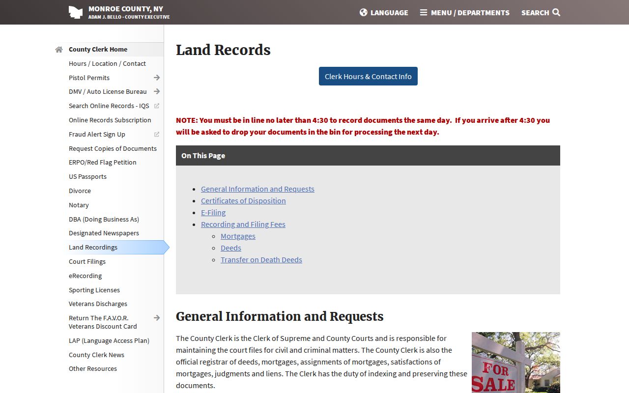
The Clerk page ties address research to recorded documents, copy routes, and the historical search method.
Monroe Street Directory Election Records
The Monroe County Board of Elections provides a current lookup for a specific person and address. The observed form uses Street #, an autocomplete Street Name, Zip Code, Last Name, Date of Birth in MM/DD/YYYY format, and Search. A response can include registration status, an Election Day polling location, sample ballot, absentee or mail-in status, and elected officials. The controls support a narrow verification question, such as whether a supplied current address fits a current election relationship.
It does not create a Monroe street directory list of voters. New York Election Law §5-508 protects confidential registrations for four years, and driver-license, non-driver ID, and Social Security number portions are not public. A no-hit can reflect an address typo, a recent move, a change in registration, an election-cycle update, or confidentiality. Preserve the lookup date, the street spelling selected by the tool, and the stated result purpose, but do not retain or publish date of birth.
If an election district is in doubt, compare the address with the Monroe Board of Elections maps and district files. The map can verify a ward, town, village, or district context before a researcher compares the address with a parcel or historical directory record.
Monroe Street Directory Permit Clues
Rochester permit and inspection tools add an address-keyed date layer to a Monroe street directory search. The city directs researchers to search by address, choose a permit, and inspect the detail page, including the assigned-inspector information by permit type. Its documented public code layer exposes fields such as ADDRESS, SBL, USE_CODE, OWNER, and OPEN_CASE. The live public map can expose fewer fields than the service metadata, so cite what the actual result shows.
Use a permit date or an open-case flag as building and property evidence only. A permit applicant, property owner, manager, or inspector may be named because of a role in the file. None of those roles shows that the named person lives on the street. For a document not available in the public map, ask the City of Rochester office or the relevant custodian for its access procedure.
Monroe Street Directory Map History
Older map material can explain why a street result has a changing parcel shape, cross street, or legal description. County GIS Records at CityPlace holds road and sewer drawings into the 1870s, as-built sewer plans from 1876, aerial imagery from the 1930s, and right-of-way, highway, bridge, park, and land-use maps. Public viewing is available, but limited staffing means researchers should call 585-753-7607 or arrange an appointment. Digital copies may be available by email.
For Rochester, a 1911-1912 Sanborn volume has 118 public-domain images through the Library of Congress. It shows structures, uses, and street grids, not names of residents. Pair a sheet number with a directory year, recorded deed, or field card. That combination dates the block without turning a building map into a people list.
Monroe Street Directory Privacy Limits
A street address is not permission to compile or publish private household information. New York protects confidential voter registrations under Election Law §5-508. The Address Confidentiality Program uses a legal substitute address for eligible participants. Vital records, sealed court files, and other protected records have their own access rules. A result that is absent, limited, or inconsistent should be documented as a gap, not bypassed through a different record type.
For a current known person, the official voter lookup can be checked with its stated fields.
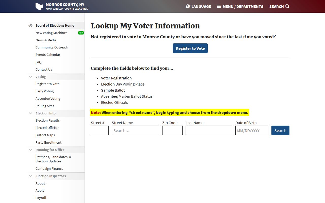
The tool's controlled fields show why it is a specific verification route, not a public street list.